The Canton of Valais is one of the 26 cantons of Switzerland, situated in the southwestern part of the country, around the valley of theRhône from its headwaters to Lake Geneva, separating the Pennine Alps from the Bernese Alps. The canton is simultaneously one of the driest regions of Switzerland in its central Rhône valley and among the wettest, having large amounts of snow and rain up on the highest peaks found in Switzerland. The canton of Valais is widely known for the Matterhorn and resort towns such as Saas Fee, Verbier, and Zermatt. It is composed of 13 districts (hence the 13 stars on the flag) and its capital is Sion.
Mountains of Valais from Christian Mülhauser on Vimeo.
Geography
The canton of Valais lies in the southwest of Switzerland.
To its south lies Italy, to the southwest France. To the north the canton is bounded by the Swiss cantons of Vaud and Bern; the cantons of Uri and Ticino lie to its east.
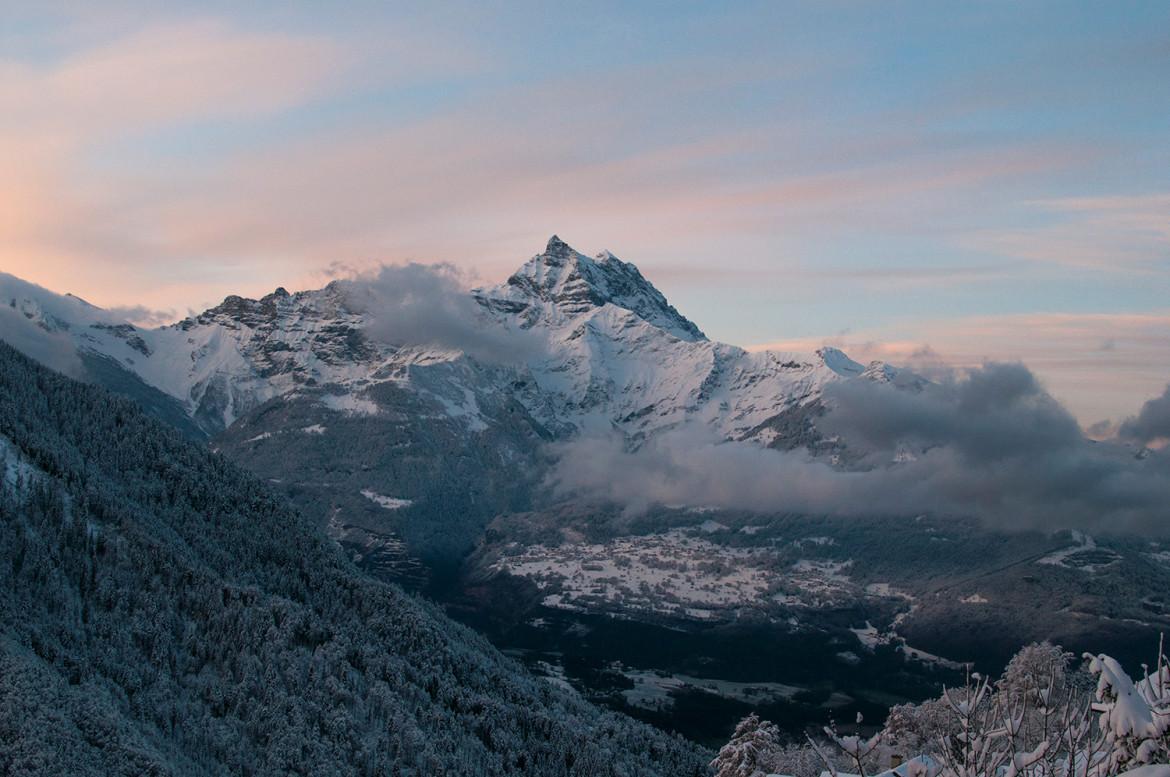
The wide, glacial Rhône valley dominates the area. There are many side valleys which branch off the main valley. These vary from narrow and remote to reasonably populous and popular. At the head of the Mattertal valley liesZermatt, a pretty tourist village dominated by views of the Matterhorn (4,478 m). Fifty of the mountains exceed 4,000 m with the highest, Monte Rosa, reaching 4,638 metres (15,217 ft), and there are numerous glaciersincluding several of the largest in the Alps.
The Rhône drains almost the entire canton and flows in the main valley from east to west down to Martigny, then in a right angle north to its mouth in Lake Geneva. After the small town of Saint-Maurice, the north-eastern banks of the river belong to the canton of Vaud. However two areas are located on the south side of the Alps and are drained by the Po river: the valley south of the Simplon Pass and the small area south of the Great St. Bernard Pass. The main valley is bounded by the Bernese Alps in the north and the Pennine Alps in the south. Other ranges situated partially in Valais are the Chablais Alps, the Mont Blanc Massif, the Urner Alps and theLepontine Alps. Only about half of the total area is considered productive.
“The greatness comes not when things go always good for you. But the greatness comes when you’re really tested, when you take some knocks, some disappointments, when sadness comes. Because only if you’ve been in the deepest valley can you ever know how magnificent it is to be on the highest mountain.”Richard Milhous Nixon
History
The Romans called the upper Rhône valley Vallis Poenina. The Vallis Poenina was won by the Romans after a great fight at Octodurus (Martigny) in 57 B.C., and was so thoroughly Romanized that both the Celticoriginal inhabitants and the Germanic Burgundian invaders of the 5th century, became Romance-speaking peoples. According to a tradition which can be traced back to the middle of the 8th century, the Theban legionwas martyred at Agaunum (now Saint Maurice) about 285 or 302. From 888 onwards the lands were part of the kingdom of Jurane Burgundy.
Valais formed part of the kingdom of Transjurane Burgundy, which fell to the Holy Roman Empire in 1032. It became part of the duchy of Burgundia Minor, which was held from the emperors by the house of Zähringen (which went extinct in 1218). In 999, King Rudolph III of Burgundy gave all temporal rights and privileges to the Bishop of Sion, who was later styled praefect and count of the Valais and is still a prince of the Holy Roman Empire. The count-bishops then struggled to defend their area against the Zähringer and then the dukes of Savoy, so that the medieval history of the Valais is inextricably linked with that of the diocese of Sion. The Dukes of Savoy, however, succeeded in winning most of the land west of Sion, while in the upper part of the valley (Upper Valais) there were many feudal lords, such as the lords of Raron, those of La Tour-Chatillon, and the counts of Visp.
About the middle of the 13th century, the large communities (Zenden or tithings) began to develop independence and grow in power. The name Zenden or tithings probably came from a very ancient division of the bishop’s manors for administrative and judicial purposes. In the same century the upper part of the valley was colonized by Germans from Hasli in the Canton of Bern. The locals became German speaking, though many Romance local names still remain. In 1354 the liberties of several of the seven Zenden (Sion, Sierre,Leuk, Raron, Visp, Brig and Conches) were confirmed by the Emperor Charles IV.



Comments (4)
Clean, unique and beautiful… wouldn’t expect any less from the boys at Ishyoboy :)
He came off his Christmas break and made fixing a plugin for his themes a top priority. Customer support is awesome.
A man’s gotta do what a man’s gotta do!
I just love all videos by Christian Mülhauser! Amazing work!
Add comment